The Indian Meteorological Department (IMD) has announced that a low‑pressure zone over the South Andaman Sea is expected to develop into a depression over the southeast Bay of Bengal by Sunday. This intensification could usher in new rainfall for coastal West Bengal beginning on November 1.
Key Developments
- IMD reports the formation of a low‑pressure area in the South Andaman Sea.
- The system is projected to strengthen into a depression over the Bay of Bengal and adjoining Andaman Sea by Sunday.
- Forecast indicates fresh rainfall reaching West Bengal from November 1 onward.
Background & Context
The Bay of Bengal often hosts cyclonic and depressional systems that influence the monsoon rainfall patterns of West Bengal. Historical data shows that depressions forming in this region typically bring increased moisture and precipitation to the coastal districts.
Impact & Analysis
- Coastal districts such as North 24 Parganas, South 24 Parganas, and Sundarbans may experience heavier rainfall.
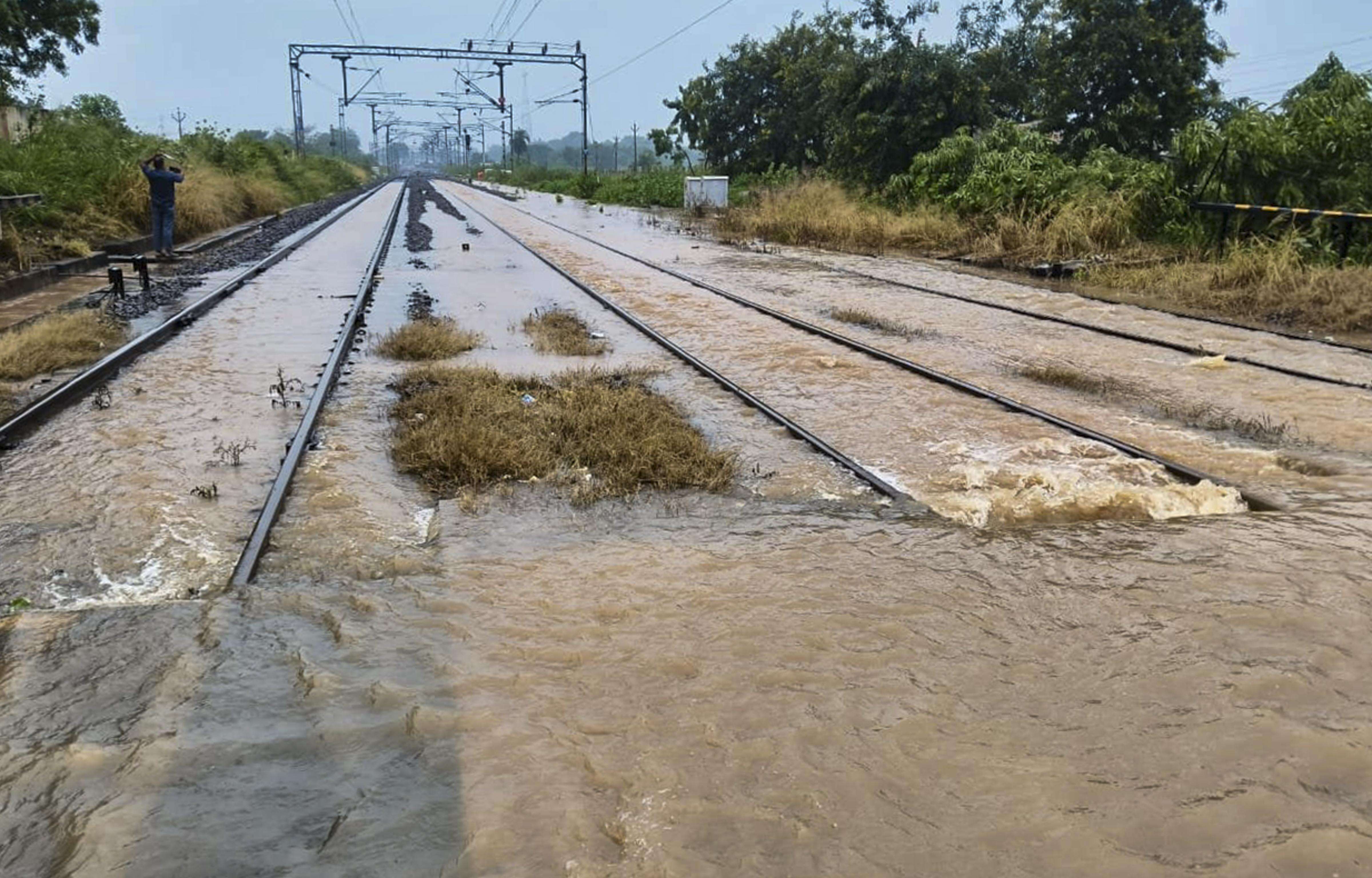
- Agriculture in low‑lying areas could see improved moisture levels but also risk of waterlogging.
- Potential flooding in the Sundarbans and other vulnerable zones may require early evacuation plans.
- Local transport services might face disruptions due to wet conditions.
What Happens Next
- IMD will issue daily updates on the system’s progression.
- West Bengal’s disaster management authorities will monitor the situation and issue advisories if necessary.
- Residents are encouraged to stay tuned to local weather bulletins and heed any official warnings.